Riding the Tail of the Armadillo
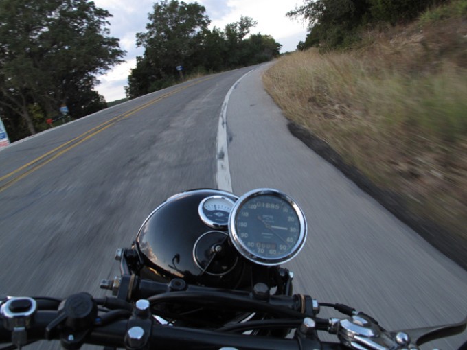
The Edwards Plateau just west of Austin marks the beginning of the Texas Hill Country. This region is highly dissected by fast-moving streams through steep-sided canyons. Out here, many of the older roads were converted trails formed by the meandering of cattle around the hilly terrain. Certainly no modern road designer would lay out roads like this with 94 corners in 18 miles! Perfect roads with little traffic for taking in the beautiful Lake Travis views while riding vintage motorcycles. My favorite 18 mile loop is a ride I like to call The Tail of the Armadillo.
Well, North Carolina may have their 11 mile Tail of the Dragon, but everything is bigger and better in Texas. To reconfirm my corner count, I had a friend at the Congressional Budget Office look at my map, and he came up with 636 corners or exactly double that relatively straight North Carolina road. Besides, you can’t get good BBQ out there anyway, while we have 2J’s BBQ close by on Bullick Hollow Road.
The loop begins in the Village of Volente, about 20 miles west of Austin, at the corner of Lime Creek Road and Volente Road, near the A on the map.
TOTAL DISTANCE: 18 miles
APPROXIMATE DRIVE TIME: 30 minutes

Lime Creek runs for about 9 miles of windy 2 lane, with no stop signs or traffic lights. Ride Texas called this road “One of the all time favorite bike roads around Austin”. The road snakes and climbs around the edge of Lake Travis, with many beautiful vistas and has been the training ground of world class cyclists. There is minimal traffic, as it serves mainly as access for local residents. Look out for bicyclists though, especially on weekends. Take a stop at Café Blue on the lake, or at Sandy Creek Park.
Top parking lot of Café Blue on Lime Creek Road
The road was recently re surfaced, and corners are well posted with several 20mph switchbacks. At the end of the windy section, the road climbs about 150 feet up to the top of the ridge, and then flattens out for the last couple miles before dead ending into Anderson Mill Road. This part of the loop is a relatively flat 4 lane road through some nice West Austin neighborhoods like Deer Creek Ranch and Twin Creeks.
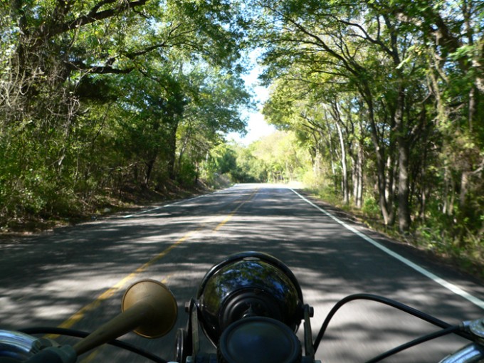
After 2.2 miles on Anderson Mill, the loop turns right onto Dies Ranch road to cut across to Volente Road. Volente road dives down a hill into the valley that runs along Cypress Creek. The massive trees make a beautiful canopy that I call the Tunnel.

Just past where Cypress Creek feeds into Lake Travis is one of my favorite corners that I have named the Corkscrew. It is a 180 degree, decreasing radius right hander, that rises about 50 feet in elevation from start to finish. Always a thrill!

This flows back down into another 180 degree to the left, over the low water bridge, followed by a series of big sweepers for the next 3 miles back to Volente. Of course, you can then just turn around and ride it counterclockwise to make it a 36 mile loop!
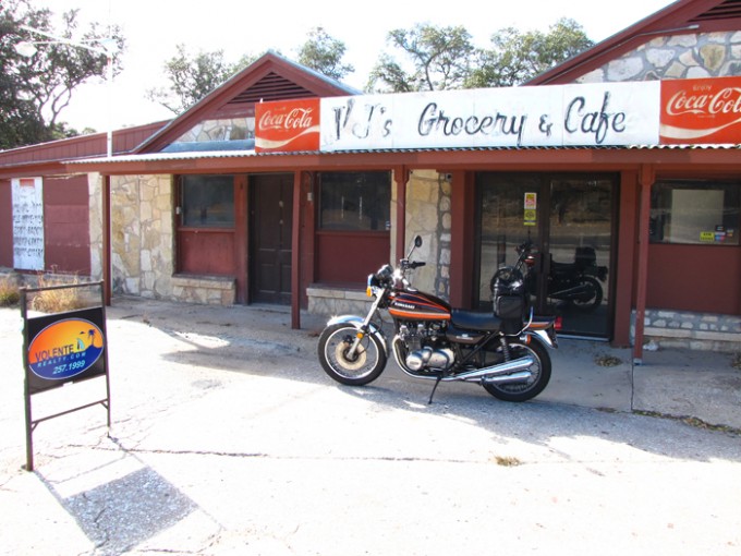
My dream one day is to have a motorcycle museum/club out here in Volente. The old VJ’s convenience store across from the fire station would be the perfect location. It would be a fine place to have bike meets and shows, as well as a display of the vintage bikes of members. I just have not figured out how to make it pay for itself yet.
Come on out and visit Volente to check out the Tail of the Armadillo!
Mark Scott
Volente, TX, where the motto is “If you think Austin is weird, you should see Volente!”


VJ’s in Volente

BMW R100/S overlooking the lake


Social Profiles